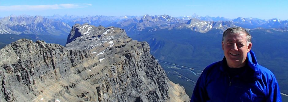
A good short early season training type day. Bike approach from Nakiska road worked well- 6.5 km vs 8.8 km from barrier dam.
I will let Kevin Papke tell this one.
Well our good friend Scott has finally accomplished a goal he set out to 30 yrs ago. Mary Barclay’s Mtn.
Early in his illustrious climbing career, at the tender age of 17 he and his personal chauffeur made an attempt at a winter ascent of this elusive peak. The story is just another of many almost forgotten epics that we on this board so often get to partake in. Needless to say, it is worth ones while to hear Scott relate the experience in his own words.
The entire experience can be summed up in one simple phrase. “Young and Dumb”.
Now in 2011 an experienced Scott with two accomplises repeated that epic journey from so many years ago. This time it was with no hazzards, snow, or life threatening decisions.
Mary Barcleys Mtn is a very, nice well graded moderate scramble in the front ranges. We encountered no snow on the entire trip and with the sun shinning brightly, the feeling of a mid summer day in K country was hard to ignore. We had a perfect day. The 1st since 2010.
To avoid crossing the raging river we did bike approach which took about 1/2hr each way(45 min). After a short discussion we decided to follow Scott’s original line of ascent up the right hand (most northern of the 2 east ridges) that rise above the valley floor. From below this route looked like it would be the most entertaining of the two, much in the same nature as say DoorJam Mtn. Mostly just a steep hike, but a few interesting rock steps, some mild exposure (rotten rock) but nothing worth putting your poles away for.
Half way up this ridge, the terrain laid back for a short distance before what appeared from below as a steeper (possibly more more difficult) section was to follow. This was not to be the case though. Nothing but a steep walk up scree, talus and dirt was to take us to a high point above where the described route in a Andrews book joined up.
Here we took our first break, where we were able to study the final ascent route and soak up some wonderfull sunshine. I think we were 2 hours from the car at this point.
We lost a wee bit of altitude walking along the ridge before the final push for the summit. The scrambling here was again more walking than scrambling and we had only two sections of decent hands on scrambling, both about 30m. Niether in any way more than the lower end of moderate, rock is excellent in both spots.
Our time to the summit was 3hrs 17minutes with a bike approach, and 20+ minute break below the summit ridge. It was decided to descend the same way but 1/2 way down we took the described ascent route (southern most of the two ridges) and this turned out to be a good idea, as we experienced excellent scree on the way down.
The trip out to the bikes and ride home was without issue, easy and flat.
If I was to do this trip again, it would be recommended to repeat both the lines of ascent and descent to minimize the scree on the way up, and maximize it on the way down.
Thanks for the great day Bill and Scott.
The bike ride does have some up and down with one creek crossing – max 18 inches deep but easy enough.
Pictures at Mary Barclay
Scott’s Pics
